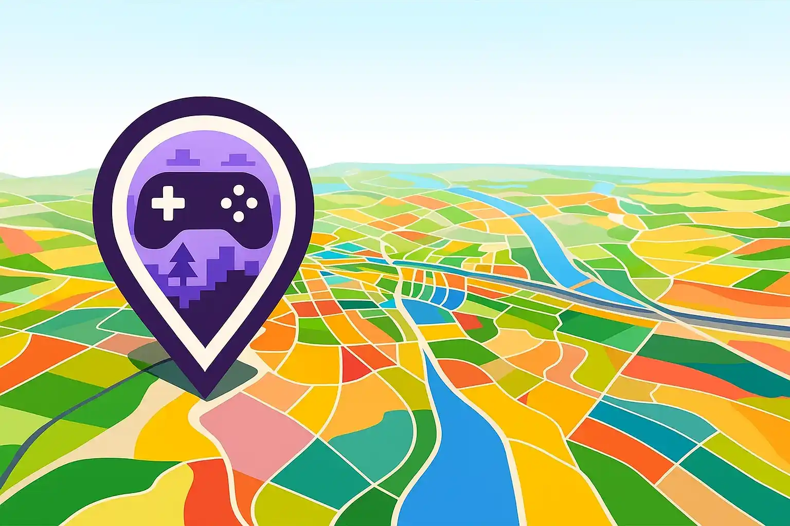
What Makes GeoGamer 360° Different?
GeoGamer 360° is unlike anything you've played in a gaming quiz. Instead of looking at a flat screenshot, you're dropped into an interactive 360-degree panorama captured from inside a real video game world. You can look around freely in every direction, examining every detail of the environment to figure out which game you're in — and exactly where.
Think of it as GeoGuessr, but instead of real-world Google Street View, you're exploring video game worlds. The key difference? You need to both identify the game AND pinpoint your location on the game's map.
Think of it as GeoGuessr, but instead of real-world Google Street View, you're exploring video game worlds. The key difference? You need to both identify the game AND pinpoint your location on the game's map.
Step 1: Identify the Game
Before you can pinpoint your location, you need to know which game you're in. Here's what to look for:
• Art style: Is it realistic, cel-shaded, pixel art, or stylized? The rendering style immediately narrows down your options
• UI elements: Sometimes you can spot subtle interface elements or HUD artifacts that are specific to certain games
• Vegetation and terrain: Different games have very distinctive grass, trees, and ground textures
• Architecture: Building styles, materials, and proportions are often unique to specific game worlds
• Lighting and atmosphere: The way sunlight, shadows, and ambient lighting work can be a dead giveaway
• Color palette: Some games have very recognizable color grading
Step 2: Look for Landmarks
Once you've identified (or narrowed down) the game, start looking for landmarks that will help you pinpoint your location on the map:
• Mountains and terrain features visible on the horizon
• Named locations like towns, cities, or points of interest
• Signs, billboards, or in-game text that references specific places
• Unique structures: towers, bridges, statues, or buildings you might recognize from playing the game
• Water features: rivers, lakes, coastlines that can be matched to the map
• Roads and paths: their direction and intersections can help triangulate your position
Step 3: Use the 360° View Strategically
Don't just look in one direction — use the full 360-degree view to your advantage:
• Rotate slowly and methodically. Check every direction before making your guess
• Look up: sometimes the sky, clouds, or overhead structures provide clues
• Look down: ground textures, paths, and terrain transitions can help identify specific areas
• Combine multiple visual cues from different directions to triangulate your position
• Pay attention to the sun or light source direction — this can help orient you on the map
Step 4: Pinpoint on the Map
When you're ready to guess, you'll see the game's map. Click where you think the panorama was taken. Scoring is based on distance — the closer your guess to the actual location, the more points you earn.
Tips for accurate map-pointing:
• Start with the general area before zooming in for precision
• Use the landmarks you identified to cross-reference with the map
• If you see a road, try to identify the same road on the map and estimate your position along it
• Consider the direction you were facing relative to landmarks and match it to the map orientation
• When in doubt, go with the most recognizable landmark you spotted
Pro Tips for Higher Scores
• Play the games you struggle with: the best way to improve at GeoGamer is to actually play the source games. You'll naturally learn their maps and landmarks
• Use process of elimination: even if you're not sure of the exact game, narrow it down by ruling out what it's NOT
• Practice regularly: the more panoramas you see, the faster you'll recognize patterns
• Join the Discord community: share tips with other players and learn from the best
• Don't rush: take your time examining the panorama thoroughly before guessing. A few extra seconds of observation can mean a much more accurate guess